May 6, Day 42 The Pacific Ocean!! cycling Jacumba to San Diego, CA

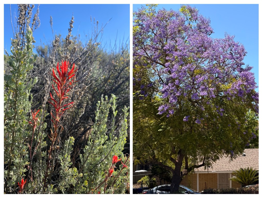
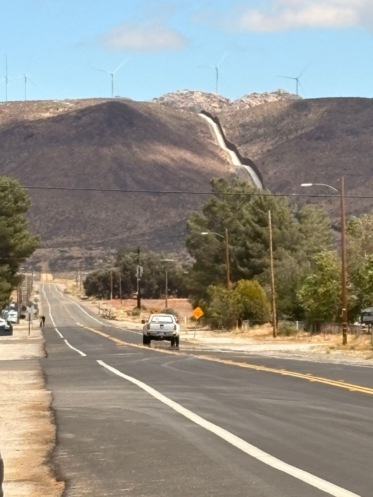
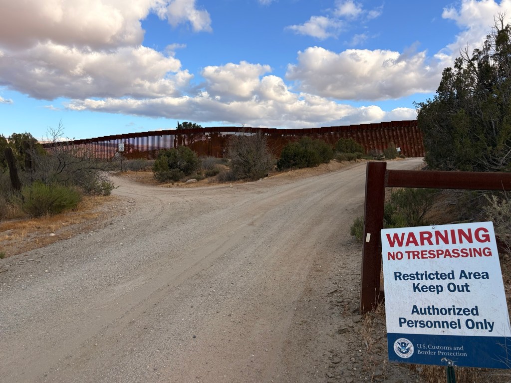
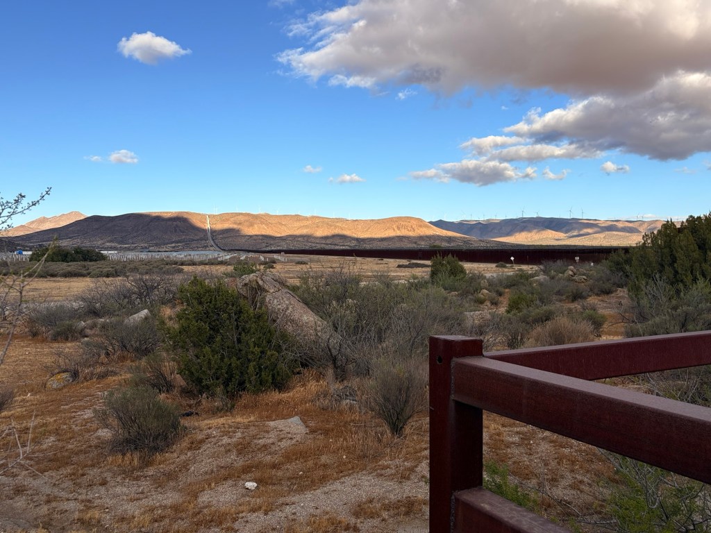
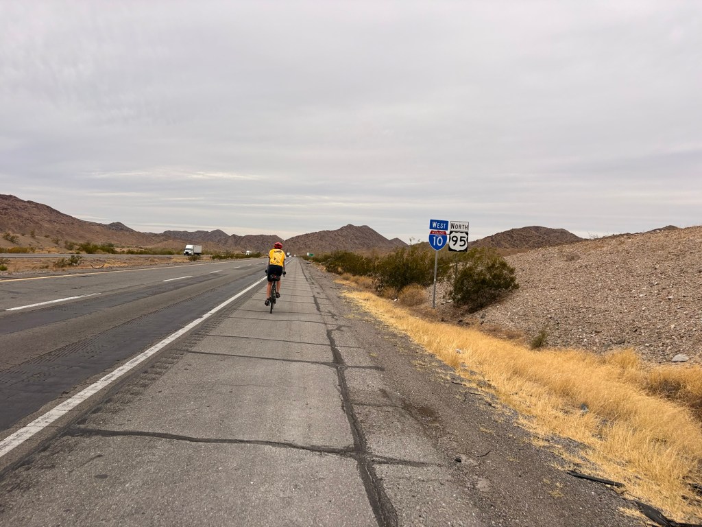
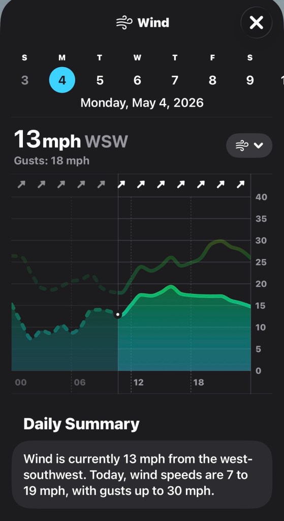
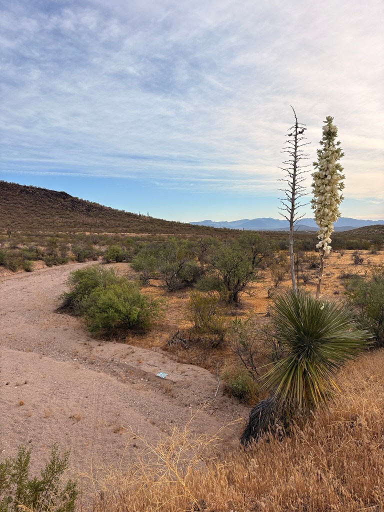
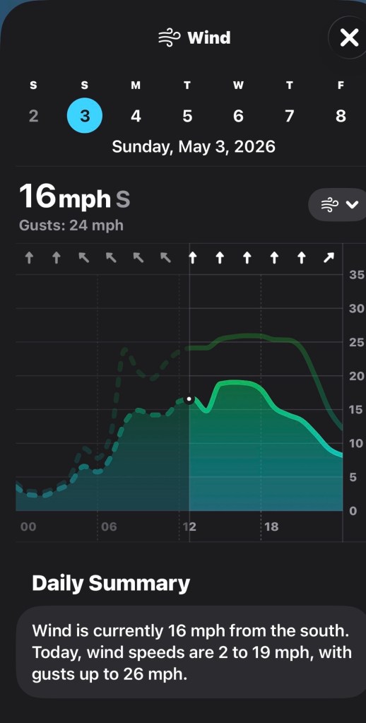
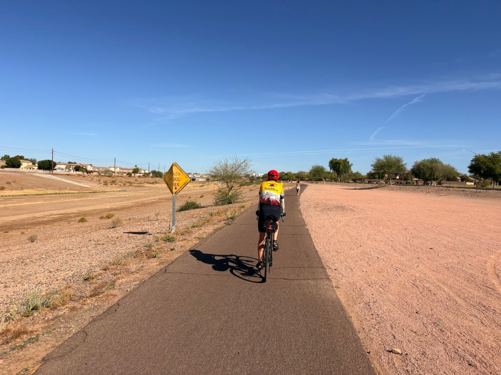
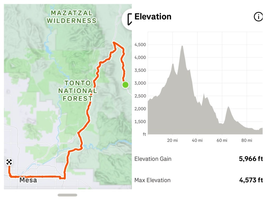
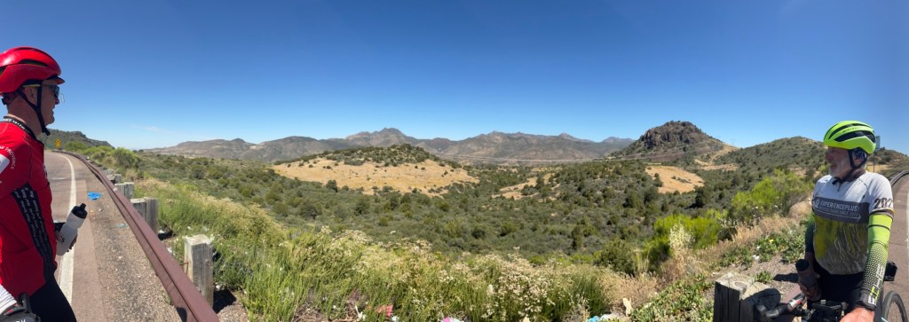
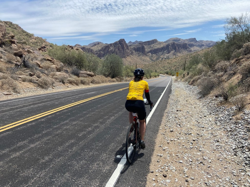
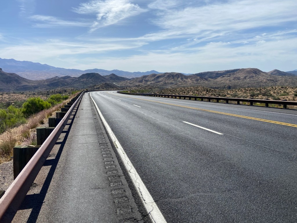
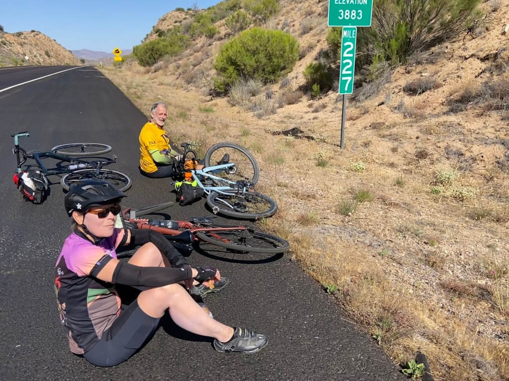
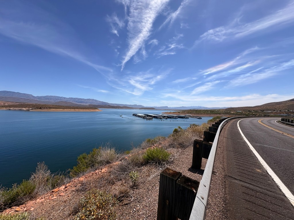
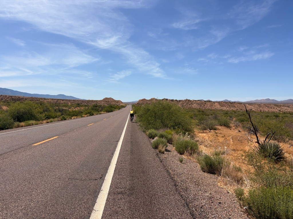
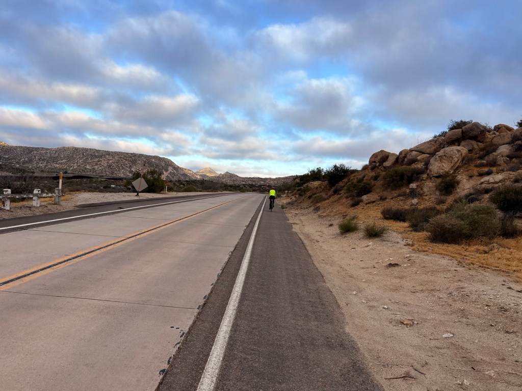
It started out cold up in the high desert in Jacumba at 42 degrees this morning. Winds were forecast to be lighter than the past few days.🤞 And they were; although the west wind grew steadily throughout the day. We bundled up even though we had a lot of climbing to do before heading down to the ocean – Tecate Divide at 3890’ was the highest point today.

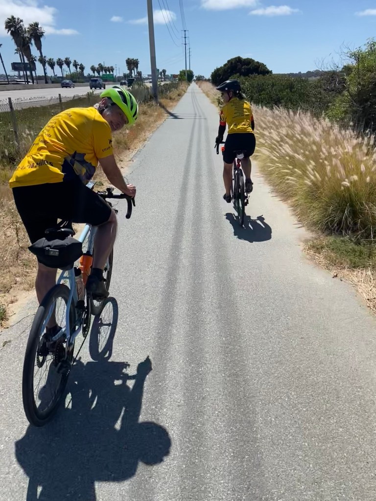
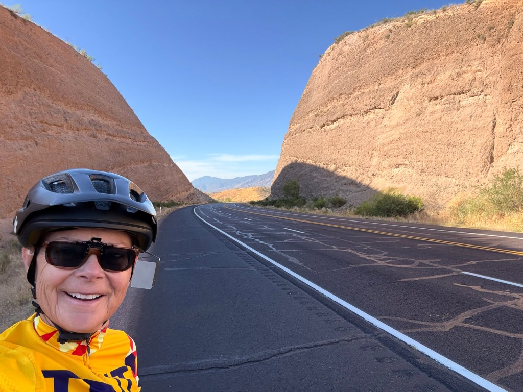
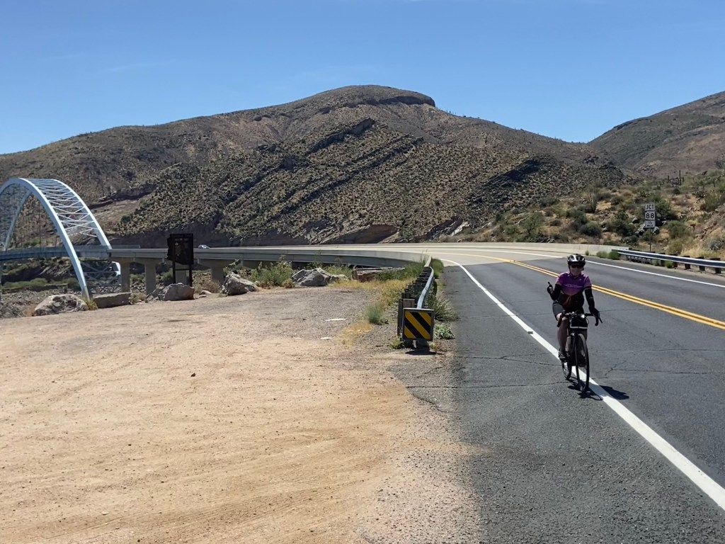
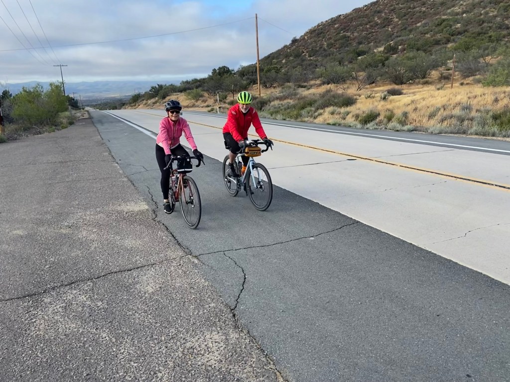
It felt so great to cycle all day and not have the elements of temperature, wind or traffic interfere with our ability to just ride. Lots of varied interesting terrain we covered in 83 miles and 4500’. Always takes a long time to navigate in and out of the big cities, too. I’m relieved to be safely finished. With life events of Tom’s 90 year old mom passing in February, a new granddaughter being born in early March, and my own 99 year old mom going on hospice in March, I wasn’t sure I was getting on a plane to FL March 17th, let alone finish the ride. But here I am; granddaughter Miya and parents are great; my mom is actually doing better; and I persevered after my fall in New Orleans, and a few days cut short from traffic that felt unsafe and some strong winds.

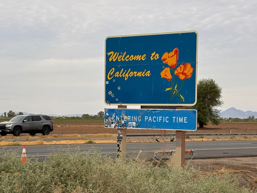
California stats: 183 miles, 6000’ elevation gain (less than planned due to wind)

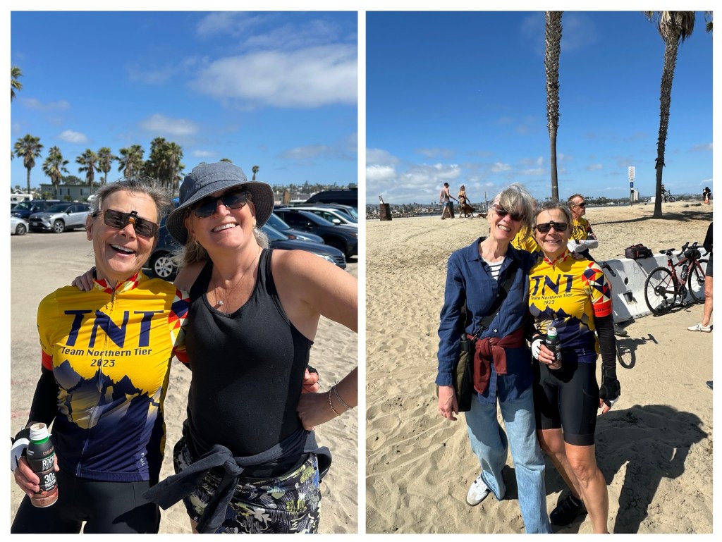
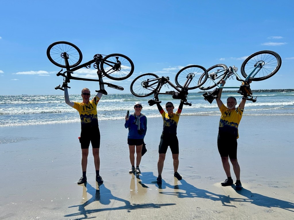
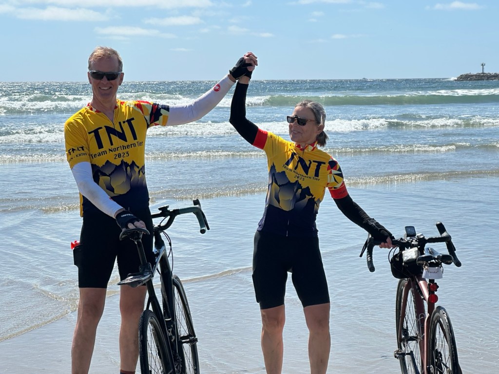
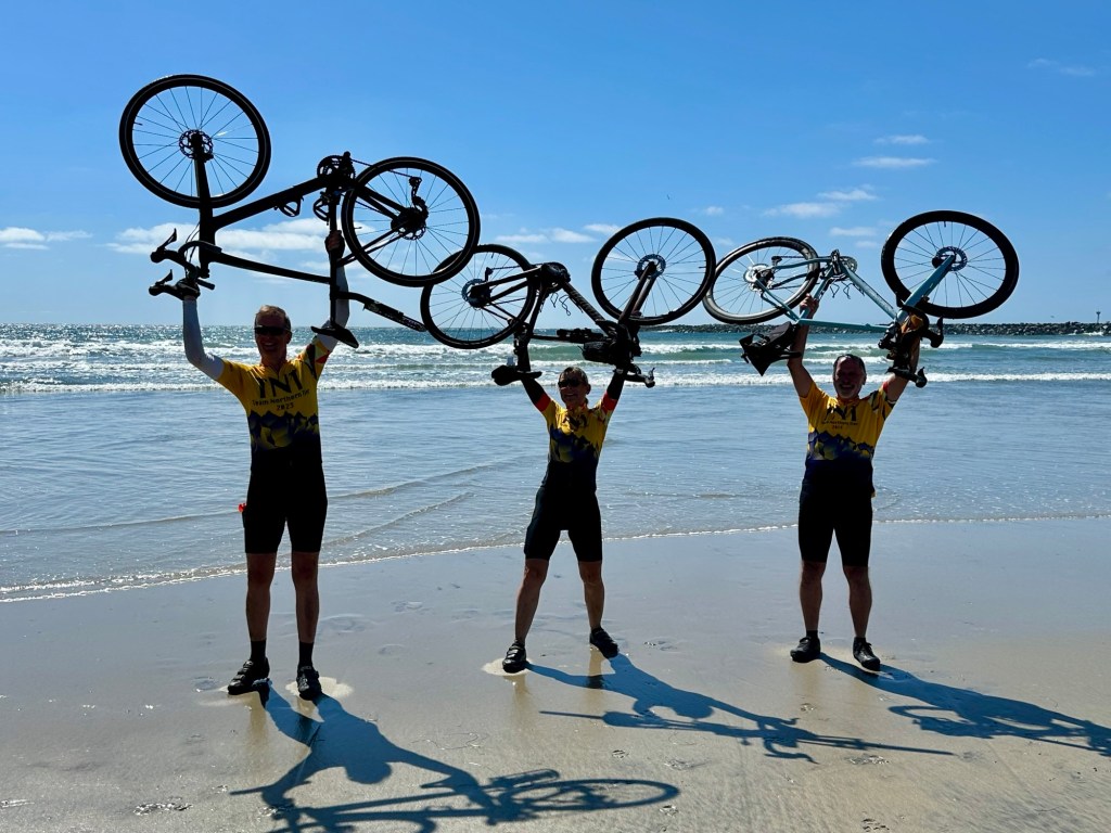
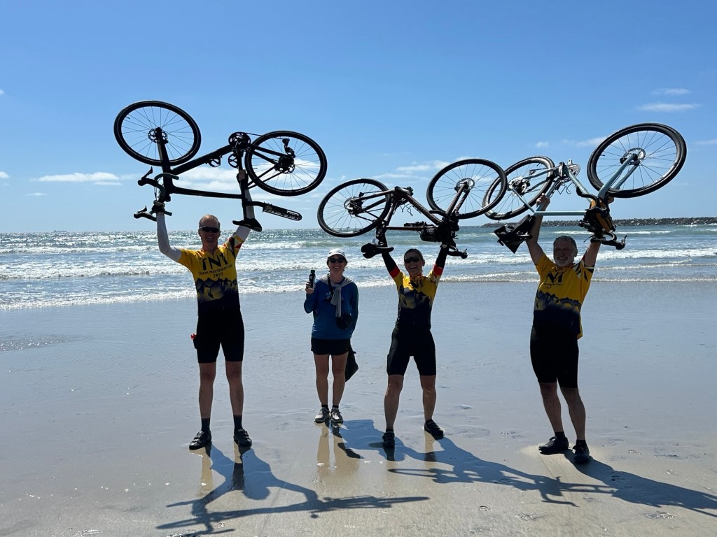
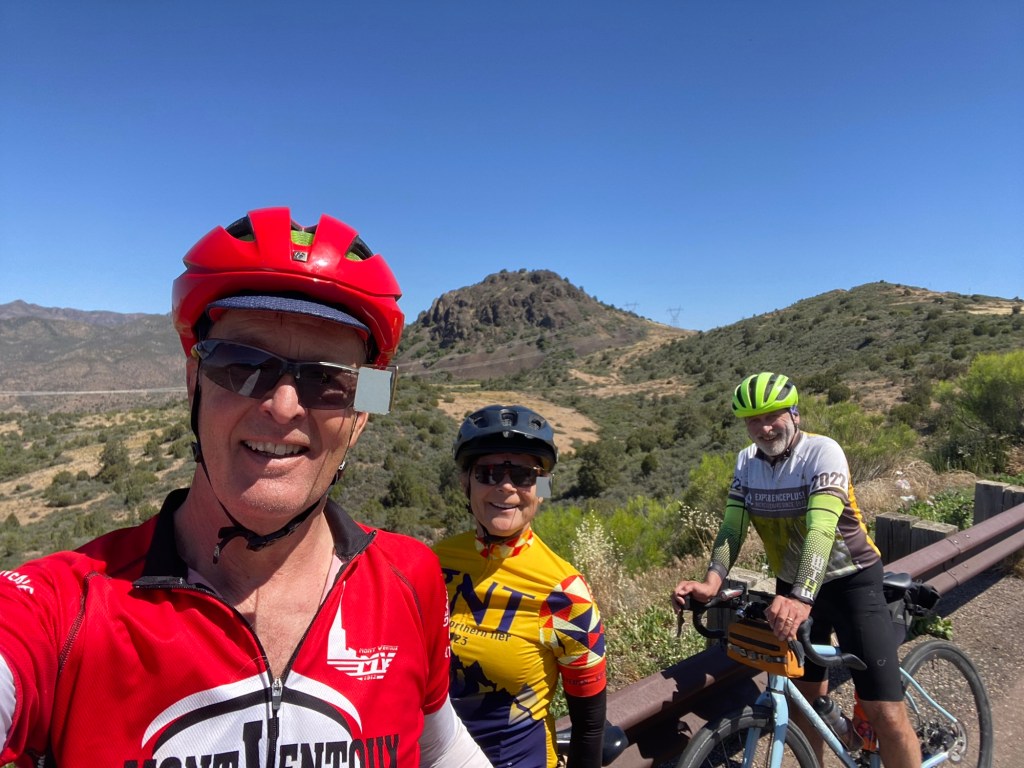
Super fun to have Steven’s wife, Karen, meet us at Ocean Beach Park in San Diego with Steven’s sisters, Carol and Nancy. And our Portland friends Bob & Kristin Krueger. And of course support driver Jody Ritchie!

Thanks for joining me on this crazy journey. I enjoyed sharing it with you. Get out on a bike… why drive when you can pedal!

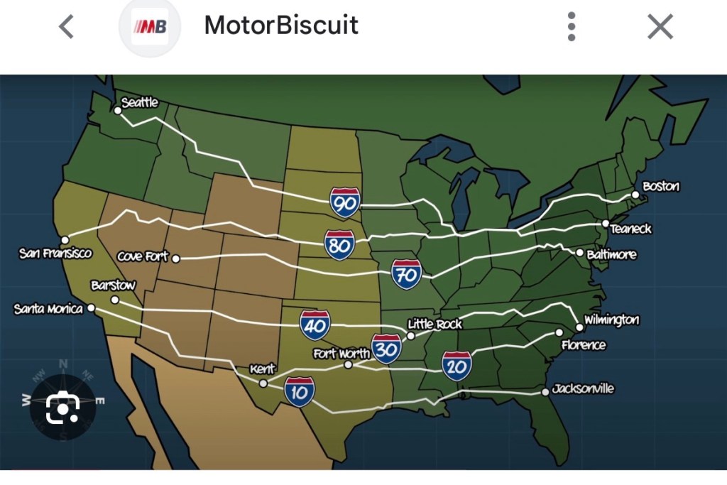
TransAm 3.0 Southern Tier

  • March 20 – May 6, 2026 (42 days cycling + 6 rest days)
  • St Augustine, FL to San Diego, CA
  • 2806 miles, 81,790’ elevation gain

TransAm 1.0 TransAmerica Bicycle Trail (with some route changes)

  • June 13 – Aug 17, 2015 (56 days cycling + 10 rest days)
  • Rehoboth Beach, DE to Gearhart OR
  • 3927 miles, 178,626’ elevation gain

TransAm 2.0 Northern Tier (with some route changes)

  • June 22 – Sept 6, 2023 (66 days cycling + 10 rest days)
  • Bar Harbor, ME to Anacortes, WA
  • 4240 miles, 153,813’ elevation gain
Early morning climbing
Highest point today with a
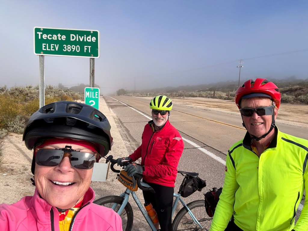
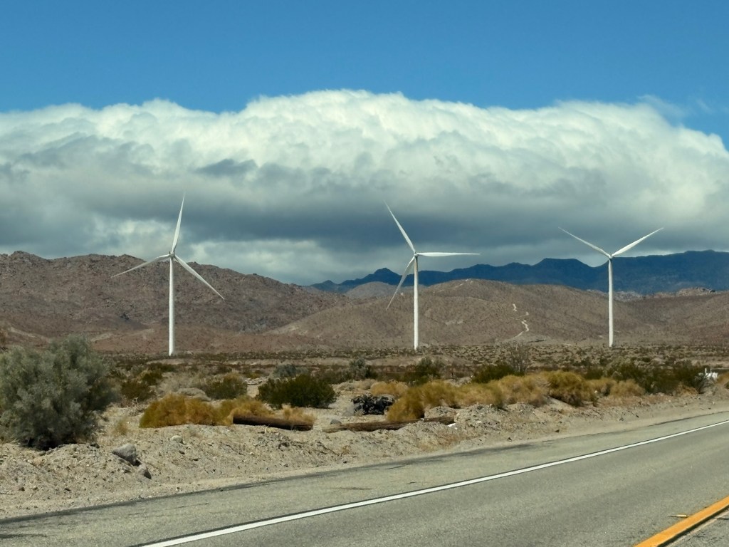
west marine layer of fog
Indian paintbrush & sagebrush (it smelled like home on top of the mountains above San Diego!). And the purple trees blooming were stunning!
On old Hwy 80 most of the morning
Waiting for construction crew to let us pass on Father Junipero Serra Trail
Bike path to the Pacific!
Friends Kristin & Karen
TST Team Southern Tier
Third time is … also a big challenge!

May 5, Day 41 cycling Brawley to Jacumba, CA

Wow only one more day cycling tomorrow when we’ll see the Pacific Ocean! Gorgeous coolish day but for the big winds. Headed south in the big Imperial Valley ag region. Brawley is below sea level so when we got to Calexico 22 miles south at +1 elevation(!), I had already gained 203’ of climbing!! We did keep cycling turning west into the wind on hwy 98 along the border. Massive solar farms and wind farms. Didn’t see any of those in AZ or TX but would have been good places for them. Very black long border wall was visible not far to the south along the edge of the very big rugged mountains.

I stopped just before the Yuma Desert with 33 miles & 322’. Just too much gusty headwind even with Tom’s drafting help. The boys continued on across the desert into Ocotillo. Wind turbines were spinning if that tells you anything! Steven and Tom stopped with hard won 55 miles and 970‘. We headed in the car with Jody for the last 16 miles on Interstate 8 into the Jacumba Mountains – rugged, boulder filled, steep mountains and down to Jacumba on the border with Mexico’s Baja California. Steven booked us a night and dinner at the hot springs which had been closed the past few years. It’s quite the place! https://jacumba.com/pages/about

Below sea level
Alfalfa is HUGE business down here!
Solar farm … often both sides of road
Wind farms … just a few turbines of many
Cacti still blooming
Jacumba Hot Springs & great dinner, too!
Palo verde blooming
The Wall from downtown Jacumba
And more Wall
And more Wall – not quite like China’s Great Wall!
And baby Miyako has just been growing into her world while we’ve been away –
2 months old now ❤️

May 4 Day 40 cycling Quartzsite, AZ to Brawley, CA

Cloud cover was welcome all morning keeping the day cool; frontage road leaving Quartzsite was filled with sites for desert camping, a popular tourist activity in these parts (most tourists gone by now). Then cycled on to I-10 with debris-filled bumpy shoulder and gusty winds. But we made it up and over and down to and across the Colorado River into CA!!! The Colorado River is the state line between the towns of Ehrenberg, AZ & Blythe, CA. I am so thrilled!

We kept cycling from Blythe south on Hwy 78 south and west across the huge agricultural Colorado River basin. At Palo Verde at the south end of the valley, I called it quits again from the wind, even with help from drafting, it was too difficult. And hwy 78 gets curvy with no shoulder and lots of traffic (including big trucks!) going into the very dry volcanic Palo Verde Mountains heading SW. The guys kept going another 10 miles and called it a day, too – wind and road/traffic conditions. Thank goodness. The road was treacherous. Then we drove into Brawley past some huge mines (gold, manganese and more) and the Imperial Sand Dunes. What a sight! Once again we were glad to be off our bikes as the sand airlifted by the wind was stinging our legs at the Dunes viewpoint. Me: 42 miles, 470’. Guys: 52.2 miles 798’

Arizona stats for part of or all of 7 days – 433.6 miles, 16,138’ elevation (Kathy); 453 miles, 16,613’ elevation (guys)

California!!

  • Nickname: The Golden State
  • Bird: California quail (we saw a lot in NM & AZ)
  • Flower: California poppy (not to be confused with the big white TX poppy)
  • Motto: “Eureka!”
Leaving Quartzsite with desert camping sites headed SW up and over to Colorado River valley
Cycling on I-10
Goodbye I-10 as you head to LA and
we head more south to San Diego
Colorado River looking NE
Looking back east at AZ mountains
California dreamin’
Wind when I stopped in Palo Verde, CA
Jody making a sand angel!
Imperial Sand Dunes

May 3, Day 39 cycling Wickenburg to Quartzsite, AZ

Sunday which is always nice with less traffic. Hwy 60 all day for me – 75 miles, 1045’ Wickenburg to Brenda, AZ. Mostly decent shoulder and when not, we weaved in and out of the lane trying to avoid cars (of course!) and the rumble strip. Desolate, dry, small towns in this huge basin & range geography of SW Arizona. The boys kept going in the wind (which we had all day from the E 😊 and S) and heat. Ended with about 95 degrees. They cycled further on hwy 60 then finished with 14 miles on Interstate 10. Yes, the same I-10 that started in FL! Boys 94.5 miles 1520’

So many interesting rugged, jagged mountains all around – Vulture Mountains, Harquahala Mountains, Bear Hills.

As Jody said, “and day 39, the gloves came off!”
Cute town last night with lots of murals, restaurants, hotels. Big tourist and rodeo town and evidently a chip plant is going in
(water & power sources?)
Leaving Wickenburg and Hassayampa River valley behind. Appreciated the cloud covered morning.
Lots of yucca and saguaro still blooming
Fast! 😊
Wind whipped up a dust storm in Aguila.
Luckily we didn’t suffer for long.
Figured our last full day in AZ, we’d better drink up some Arizona! In small town of Wenden (where it was windy!)
Basin of Ranegras Plain near Hope, AZ
South crosswinds started picking up
and tossing us about
I called it a day here – hot and windy.
Jumped in the car with Jody.

May 2, Day 38 Cycling Scottsdale to Wickenburg, AZ

Left at 630 this morning to try and beat a bit of heat. Cycling west and NW with a tailwind for 28 miles on bike paths across the Valley of the Sun/Salt River Valley/Phoenix Valley. Oh baby that was nice!! Twenty-four different municipalities in that huge valley.

Then we were on roads and highways still north and west and a bit busy with Saturday traffic headed to play on the water at Lake Pleasant. Met up with the very dry Hassayampa River and on in to Wickenburg – the dude ranch capital of the world!! Don’t have time to do any dude ranchin’.

74.9 miles 1929’ with a beautiful E/SE wind across some very dry southwestern AZ terrain. I saw a mileage sign for Las Vegas and Los Angeles! That was a bit trippy!! 👏 👍

Arizona Canal Trail in Scottsdale
Trail
Trail
Feels great with a tailwind!
Hassayampa River in Wickenburg
Wickenburg
Jody waiting for us with room keys!
Support driver extraordinaire!!

May 1 Rest Day!

Happy May Day. Lovely Thai takeout dinner brought to us last night by Steven’s daughter Morgan and son-in-law Chase who are in Scottsdale for a long weekend! Always fun to see family.

Tom took his bike in to a local bike shop to have the disc brakes checked which have been making a strange scraping sound. Luckily no problems with the long steep downhills yesterday after all the climbing!

We got to have breakfast with a long-time work colleague of Tom’s, Bob Gooding, from the utility pole business days. And then fabulous massages! My therapist said when I get home I need to ask my massage therapist to give me a “left side unwinding” after my fall in New Orleans on March 30th! Stay tuned about that! Did the usual bookkeeping (gotta keep the businesses running at home), bike cleaning, scrubbing of water bottles, laundry and grocery shopping for the essentials to “feed the beasts”, aka ourselves! 🤣 Enjoyed dinner out at Zinc Bistro, a French restaurant in the swanky north Scottsdale area, with Morgan and Chase again.

Wanted to also share Tom’s fascination with Texas ranch gates/entrances as we cycled across that state. Even the most modest looking ranch homes, sometimes trailers, had often impressive ranch gates. And often times, no ranch house (yet?) had a gate. Enjoy the montage I created of Texas ranch gates.

Last batch of boiled red potatoes
and Super Hero muffins!

April 30, Day 37 cycling Tonto Basin to Scottsdale, AZ

Up Tonto Creek and over Mazatzal mountains and down into the huge Mesa/Tempe/Scottsdale/Phoenix valley from the NE. When we were in Globe we were due east of the valley, but the cycling route took us north into the south central AZ mountains. Huge day today which started with 65 miles and over 5000’ up and down, up and down, up and down, oh, and up and down again! It was a beautiful ride through amazing mountains even with a big chunk of that 65 miles on the very loud (from traffic), 4 lane divided highway 87/Beeline Hwy. Thankfully very wide shoulder sometimes in bad condition. Then we went off into the lower Salt River Canyon and up over Usery Pass. Then 28 miles navigating Mesa, Tempe and then into Scottsdale for our last rest day tomorrow! Passed by a few MLB Training facilities. Temps got warm but I kept dumping water on my helmet and down my back! Ended with 93.35 miles and 5966’ for the biggest day of the trip.

From Tom’s Strava
Cycling up the Tonto Creek Basin
Leaving Tonto Basin behind me
Up
Down
Top of the highest pass today at 4545’ elevation
Same pass
Looking SW… down
Up and up – looking back NE
from whence we came!
On Usery Pass Road
So many very old Palo Verde trees

April 29, Day 36 cycling Globe to Tonto Basin, AZ

Well what a difference a day can make! Today was a beautiful bike ride with minimal wind, temps below 80 and mostly decent road surfaces. We were fortunate to experience light traffic, too, unlike yesterday. 49.2 miles, 2579’ We started out at the house by first fixing Tom’s flat rear tire which had been low yesterday. From Globe (another big south central AZ copper mining town), we turned northwest on Hwy 188 and cycled up and over a ridge and then down a huge beautiful hill into Tonto Basin with Tonto Creek (and many others) and the Salt River filling Theodore Roosevelt Lake created by a dam on the Salt River. The reservoir was very low. Saguaros, prickly pear and cholla were abundant and many were starting to bloom.

Tom’s first flat!
Climbing out of Globe
Rest at the top
2023-25 very full; today, in the peak month, Roosevelt Lake is at 45% capacity.
Bridge over Salt River
Roosevelt Dam on the Salt River
(1911 – originally world’s tallest masonry dam) controlled flooding in Phoenix valley

April 28, Day 35 cycling Safford to Globe, AZ

As an aside, it’s been interesting to basically be intersecting our entire journey since FL with Interstate 10. If we wanted to cycle on that freeway, the trip would have been a lot shorter and less hilly! In NM, we left the Interstate in Las Cruces and headed north up the Rio Grande and then west over the mountains and then back south to intersect again with I-10 in western NM. Then again in AZ, I-10 pretty much continues west/northwest, but we head north towards Globe today into the mountains north of Phoenix and then will intersect again with I-10 in western AZ. I-10 then goes northwest to end in LA area where we head southwest into the mountains to end in San Diego.

Today we followed the Gila River west and northwest nearly all day on Hwy 70 again. Yes, the same Gila River with headwaters in the Gila National Forest near the Cliff Dwellings we visited. The Gila River eventually dumps in to the Colorado River and then into the Gulf of California. Hwy 70 was very busy the entire 78.6 miles, 2723’ (over 3000’ on Steven’s computer). Road conditions varied from great to dangerous with several areas of construction. Today was another one of those days that you don’t want to introduce a TransAm journey to your dearest friend or any friend for that matter!! I will not go into more detail today for fear of ending in a rant, and I’m tired anyway. Rest assured we are all safe in a beautiful Airbnb in the historic district of Globe, Arizona.

I will add that 6 miles out of Globe, I texted Jody for a pick up due to feeling unsafe with the traffic and narrow “shoulder”, but she replied and said she was trying to contact AAA to get a flat tire in the car fixed! Thankfully she was parked in front of our Airbnb and in Globe with a choice of several tire repair shops. [Could have been so much worse!] She was unsuccessful (needed us to call which we tried unsuccessfully from the route). So we all finished the ride and then dealt with AAA and got the tire repaired in Globe. On the road again tomorrow !!

Leaving this morning
Gila River valley
Geronimo, AZ historical road marker
Leaving the Gila River
Cycling on a section of the new pavement with construction not quite done yet.
A nice section of hwy shoulder
with a rare moment of no traffic.
Interesting frequent white chalky soil.
A rare moment with no traffic and gravel-like shoulder with over-hanging scratchy bushes.
Cholla in bloom; saguaro make an appearance